3D Laser Scanning for Heritage: Revolutionizing Historical Preservation

Irrespective of how cliché it sounds but it remains the truth that heritage structures are bridges between the past and the present. These ancient structures tell tale of human greatness and the journey of our civilizations through the ages. But these structures hold significance that is way more than stories only. The architectural brilliance behind each of the heritage building depicts truths about geo-political, economic, and socio-cultural era in which it was constructed.
Therefore, conservation, heritage documentation, and restoration of these structures are of vast importance. By learning from our past, we can build a formidable future for future generations. One such tool for preserving heritage structures is 3D laser scanning tools. In this article, we are going to walk you through preserving the past with 3D laser scanning tool. So, stay with us!
But before exploring the topic, let us first tell you what heritage documentation is.
What is Heritage Documentation?

The process of thorough documentation of any given historical structure with aim of interpreting, finding, and preserving historical data is called heritage documentation. When we refer to built environment, the term points towards the systematic process of data capturing, collection, and preservation. This documentation has information in a wide range of formats such as photographs, written reports, digital models, and drawings. The purpose of this documentation is to document the cultural, physical, and historical aspect of the given structure.
Now that you have ample understanding of heritage documentation, it’s time to tell you who perform this documentation. It’s done by teams of architects, research organization, conservationists, historians, and local government authorities.
It’s time to get back at our topic: 3D Laser Scanning for Heritage.
3D Laser Scanning for Heritage
To document heritage structures, we use 3D laser scanning. This technology has greatly helped in documenting structures that are specifically inaccessible, huge in volume, or in state of disrepairs. Traditional approaches, such as conventional heritage documentation and photogrammetry, to documenting these structures were plagued by inaccuracies and delays.
But with the advent of 3D laser scanning, the whole process of documenting heritage structures has been revolutionized. 3D laser scanners deploy laser beams to create highly accurate and detailed visual representation of given structures. What distinguishes this approach from traditional method is that millions of data points are captured by these scanners. They do so by calculating the distance between the structure’s surface and the scanner themselves.
Using these data points, experts then create detailed and accurate 3D point cloud that is actually a digital replica of the heritage structure. Thanks to this detailed information, architects, researchers, and other stakeholders acquire the ability to explore these volatile structures from every angle. Thus, 3D laser scanner captures even the tiniest of the details and minute of the changes over a period of time.
When compared with photogrammetry and conventional documentation, these scanners provide a way better level of accuracy. This precision comes in handy in performing various tasks such as structural analysis, restoration planning, and preservation efforts.
The Process of Heritage Documentation
Planning and Preparation
Scanning the Structure
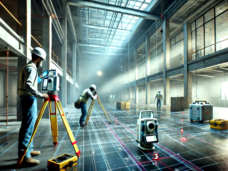
The second phase is scanning the structure. The scanners placed at multiple locations start emitting laser beams throughout the surface of given structure. These multiple scans taken from different angles ensure that everything is captured, even the intricate details.
Data Processing and Registration
Creating the 3D Model
Analysis and Documentation
Learn more: How does 3D laser scanning work?
3D Laser Scanning for Heritage – The S2P Advantage
The models we delivered are:
Geo-Coordinated: Survey2Plan’s cutting-edge technology seamlessly integrates with geospatial and GPS tools, thus ensuring that your 3D scans are accurate in isolation as well as positioned within earth’s coordinate systems.
Accurate Having Unparalleled Precision: This is why we brought a highly skilled and experienced team of architecture, engineers, surveyors, and project managers under one roof. This human expertise, when combined with state-of-the-art equipment produces surveys with exceptional precision.
And they come With Unlimited 2D Views, Sections, and Elevations.
Furthermore, you get a dedicated account manager, up to 10 free revisions, and no hidden fees. So, book your consultation today!


