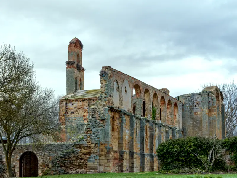
Have you ever wondered how we preserve the stories and artifacts of our ancestors for future generations? Heritage surveys are the answer. These surveys are crucial for documenting and preserving cultural, historical, and archaeological sites. They provide valuable insights into a community’s past, inform conservation efforts, and guide sustainable development.
Conducting a heritage survey requires careful planning, ethical considerations, and adherence to best practices to ensure accuracy and respect for the sites and communities involved.
Here are the best practices for conducting effective heritage surveys.
Best Practices to Conduct a Heritage Survey
1. Research your community
You could start by looking through the literature that is currently accessible in your town. The goal is to locate noteworthy historical sites, themes, eras, occasions, and figures. Determine which heritage themes—such as the history of emancipation and slavery—are most prevalent in the region.
To put the evolution of the built environment and cultural landscape in context, you will need to sketch a history of the region. Additionally, you must give a concise synopsis of the history of architecture in the area, citing:
- The earliest types of habitation
- Vernacular architecture concerns particular regional construction materials and vernacular styles; different architectural styles are represented within the delineated area.
- Architectural context does not refer to the historical or geographical setting; instead, it relates to the buildings and structures throughout the local area, farming district, and more extensive region.
2. Survey team
Establish consensus on the survey area as soon as the crew is assembled.
Another critical decision is whether all structures in the demarcated region will be surveyed or only those that fall under a specific age range—all structures older than 60 years old, for example—or all structures, regardless of age.
Accept which typologies or categories will be recorded. They include but are not limited to, structures, bridges, railway tracks, and open spaces. You can further refine the building classifications to discern between residential, commercial, industrial, religious, institutional, and other uses.
3. Fieldwork and preparation of an inventory
- Block and structure erf number or reference number
- GPS location
- Street address
- Building type (e.g., military, religious, residential, flat, etc.)
- Date of construction
- Style (discuss a particular style rather than a period; for example, Georgian style may be associated with the Victorian era)
- Architectural era (Victorian, for example)
- Modifications (repairs, renovations, add-ons, and the dates of such changes)
- Current NHRA protection (e.g., has the structure been graded, or is it older than 60 years)
- Building name, architect’s name, and a description of the structure (e.g., physical qualities)
- History (such as initial or prior owners)
- Social history (e.g., notable people connected to the location)
4. Assessment of significance
5. Review and consultation
6. Mapping the results
The findings must be mapped after the research is finished and the community has validated the findings. Heritage Western Cape recommends creating three maps:
The first of these three maps indicates the estimated age of each building in the region, denoted by color; the periods shown are estimates based on the available historical documents and maps.
- The second displays every structure, location, and space that is advised to be categorised and classified as a heritage resource. These are denoted by color and
- The suggested heritage places should be depicted on the third map.
7. Submission
Lastly, the local and provincial heritage resources authorities should prepare motivation to endorse and adopt the survey results. You will need to provide evidence of public consultation. We also recommend publishing the survey on the local conservation body’s website.
Survey2Plan can support you throughout the ownership process. We conduct pre-purchase surveys, condition and repair surveys, architectural design, and planning services for Heritage clients. Contact us to arrange a free, no-obligation consultation.