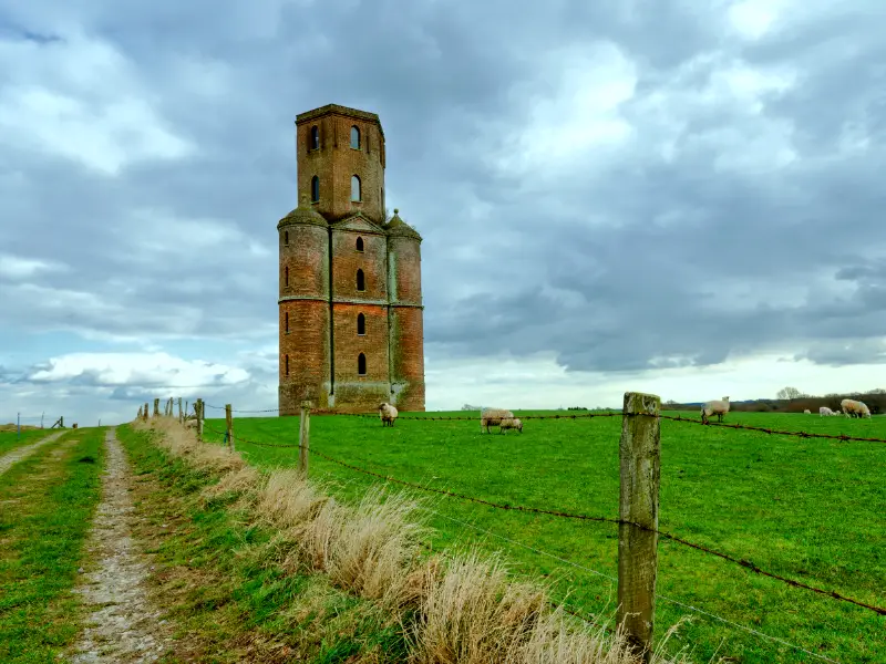
Why preserve cultural heritage? Safeguarding urban heritage—historic buildings, celebrations, artwork, dance, music, sculpture, etc.—may appear less critical than urgent problems like improving infrastructure, reducing poverty, or creating jobs.
In the long term, successful heritage resource conservation boosts local economies, offers citizens a feeling of identity, pride, and belonging, and aids in preserving and protecting these assets.
Heritage Surveying
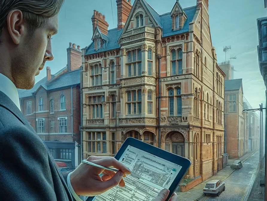
Heritage surveying is the systematic process of inspecting and recording historical locations, buildings, and artifacts. Geographic information systems (GIS), architecture, archaeology, and other fields are all included in heritage surveying.
Furthermore, heritage surveying provides for preserving these historical locations and artifacts. Heritage surveys guarantee the conservation and protection of historical sites and offer important information about their historical relevance. Heritage surveys are important for historic buildings and help stakeholders make well-informed decisions about preserving cultural heritage.
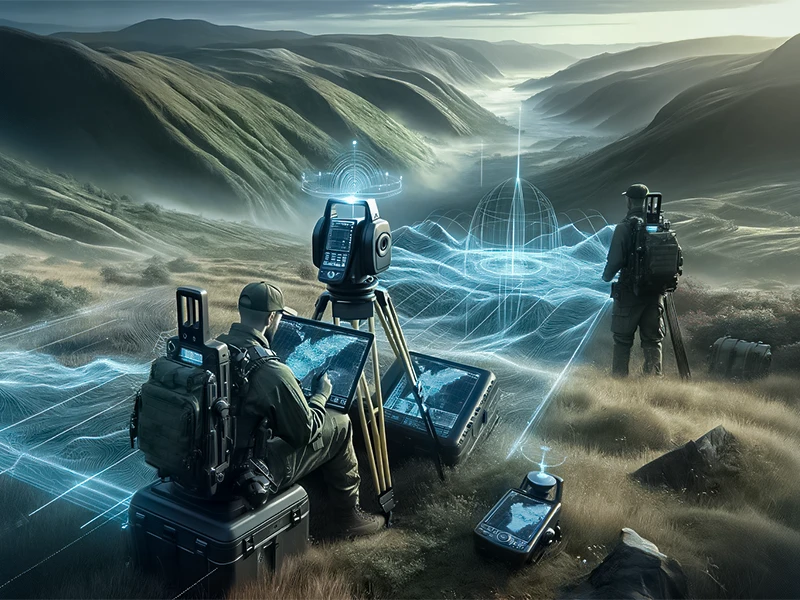
The Role of Technology in Enhancing Heritage Survey Efficiency
Techniques Used in Heritage Surveying
1. Photogrammetry

Photogrammetry utilizes overlapping photographs to create highly accurate 3D models of heritage structures. By capturing multiple images from different angles, specialized software stitches them together, reconstructing the structure in a virtual environment. This Technology allows for virtual exploration, precise measurements, and in-depth analysis of the heritage structure.
Moreover, it facilitates the creation of immersive experiences, enabling virtual tours that a broad audience for educational and research purposes can access.
Applications
- Documentation: Photogrammetry creates accurate records of heritage sites, providing a visual and measurable archive.
- Restoration: The technique helps in planning restoration work by offering a precise understanding of the current condition of structures.
- Virtual Tours: The 3D models generated can be used for virtual tours, making heritage sites accessible to a broader audience.
Advantages
- It is non-invasive and does not harm the structure.
- Highly accurate and detailed models.
- Cost-effective compared to other 3D modelling techniques.
2. Dendrochronology
Applications
- Dating Structures: It helps date heritage buildings’ wooden beams, floors, and other structural elements.
- Climate Studies: Tree rings provide information about historical climate conditions, aiding in environmental reconstructions.
- Provenance Studies: Dendrochronology can identify wood’s geographical origin, offering insights into historical trade routes and practices.
Advantages
- Provides precise dating of wooden materials.
- Non-destructive sampling methods.
- It can offer climate and environmental information.
3. Ground-penetrating Radar

Ground Penetrating Radar (GPR) is a non-invasive and non-destructive geophysical method that uses radar pulses to image the subsurface. It has become a vital tool in cultural heritage preservation because it can detect and map archaeological features without disturbing the site. Here’s an overview of its application in this field:
Applications
- Archaeological Exploration: GPR helps locate buried artifacts, foundations, and structures.
- Site Assessment: It assesses the condition of foundations and other building elements of heritage buildings.
- Conservation Planning: GPR data informs conservation strategies by revealing hidden structural issues.
4. 3D Laser Scanning Technology
Applications
- Detailed Mapping: Laser scanning provides highly detailed and accurate maps of heritage sites, capturing even the most minor features.
- Structural Analysis: It helps assess the structural integrity of buildings and monuments.
- Preservation Planning: The data collected assists in planning preservation and conservation efforts by identifying at-risk areas.
Advantages
Advantages of historic prevention through laser scanning are listed below:
- Cost-efficient
- Obtain accurate point clouds, 2D CAD drawings, and 3D BIM models
- Manual Labour Reduction
- Real-Time Data Verification
- Reflector less Technology
Conclusion
Before beginning any restoration work on a heritage or conservation property, it is necessary to understand the physical layout and size of the structure entirely. Our experts help mitigate these difficulties by providing expert heritage surveys.
Feel free to reach out to us for a detailed heritage survey consultation.


