Before a building is designed, a road is laid, or a renewable project is approved, one question comes first: what exactly is on the land?
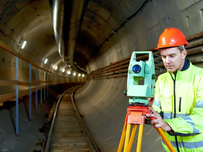
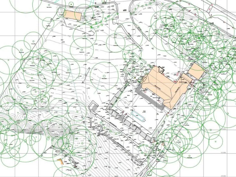
A topographical survey answers that question. It maps the shape of the ground, the heights and contours, and every visible feature from trees and fences to drains, manholes, and overhead wires. In the UK, where planning rules are strict and land is often tightly constrained, these surveys aren’t a formality; they are the foundation for safe, legal, and efficient development.
Site Planning and Design
Architects can’t design in the dark. A topographical survey gives them the canvas they need.
Consider a housing scheme on a sloping site in Sheffield. Without accurate levels, architects might design a row of homes that look perfect on paper but require huge retaining walls once the slope is discovered. With survey data upfront, the design adapts to the terrain houses step down the slope naturally, drainage runs downhill, and construction costs stay under control.
The same applies in urban infill projects. In London, for instance, where a new building might be squeezed between two historic ones, surveys show exact wall positions, roof heights, and access points. This avoids neighbour disputes and ensures designs meet planning requirements the first time.
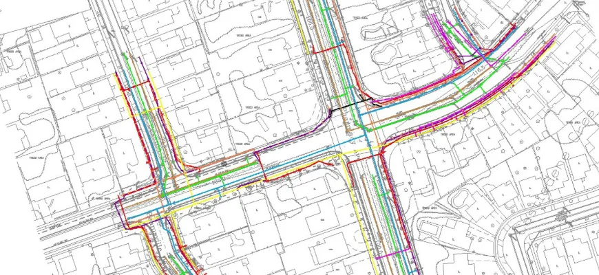
Infrastructure and Road Development
Civil engineers depend on topographical surveys to shape roads, bridges, and utilities.
Take a road realignment project in rural Wales. Survey data reveals gradients that affect both safety and fuel use. Engineers can then design curves and inclines that meet legal standards while minimising cut-and-fill earthworks.
For utilities, surveys prevent accidental clashes. Mapping underground drainage or overhead power lines means new infrastructure can be placed without conflict reducing both risk and cost. Without this, a digger could strike a buried gas pipe, halting work and creating serious hazards.
Flood Risk and Drainage Assessment
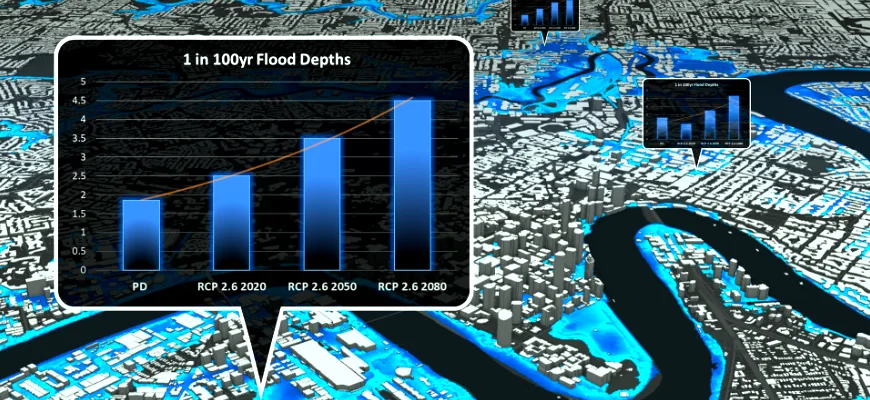
Flooding is one of the most expensive risks in UK development. A topographical survey provides the elevation data needed to model water flow.
For example, in the Thames Valley, developers use survey levels to design Sustainable Drainage Systems (SuDS) that capture and release rainwater safely. Without it, surface water might collect in the wrong place, damaging homes and leaving developers liable for claims.
Planning authorities now demand this level of evidence. A survey ensures developers can demonstrate that their site won’t worsen flood risks elsewhere a key requirement under DEFRA’s planning policy.
Land Registration and Legal Boundaries
Boundary disputes are common, but surveys turn opinion into evidence.
Imagine two landowners in Kent arguing over where a fence should sit. A registered topographical survey showing coordinates, boundaries, and structures provides clarity. Courts and the Land Registry accept this data as factual, removing ambiguity and costly legal battles.
For developers, parcel mapping also underpins applications for subsidies and compliance with Environmental Land Management (ELM) schemes. It’s the proof that land areas are measured correctly and in line with government standards.
Heritage and Conservation Projects
Restoring heritage sites is delicate work. Surveys ensure nothing is damaged unnecessarily.
When working on a listed manor house in the Cotswolds, surveyors recorded every tree, wall, and outbuilding before conservation began. This allowed planners to protect historic features while installing modern services like drainage and lighting.
In archaeology, surveys map earthworks and buried structures, helping teams plan excavations with minimal disturbance. This blend of preservation and progress is only possible with accurate topographical data.
Utility and Service Planning
Urban areas hide a complex web of services beneath the ground. A topographical survey records manholes, inspection covers, hydrants, and visible utilities.
For a developer in Manchester, this might mean knowing where existing sewer connections lie before planning extensions. For contractors, it reduces the chance of striking live services during excavation avoiding fines, project delays, and safety risks.
Renewable Energy Projects
Renewable energy requires careful land use.
- Wind farms: Turbines must be positioned on higher ground with consistent wind flow. Surveys show terrain and access routes for delivery vehicles.
- Solar parks: Panels perform best when oriented correctly; surveys record slopes, shading from trees, and surrounding structures.
- Hydropower: In Scotland, river gradient surveys help determine potential energy output and placement of infrastructure.
By supplying accurate terrain data, surveys reduce design errors and maximise efficiency.
Conclusion
A topographical survey is not a piece of paperwork it is the bedrock of modern development. From housing layouts in Sheffield to drainage design in the Thames Valley, from motorway upgrades to solar parks, the applications are wide and critical.
Without them, projects face redesigns, disputes, and unexpected costs. With them, every decision is grounded in fact.
For architects, engineers, and landowners, the message is clear: before you design, before you dig, survey the land. It’s the simplest way to save money, reduce risk, and build with confidence.