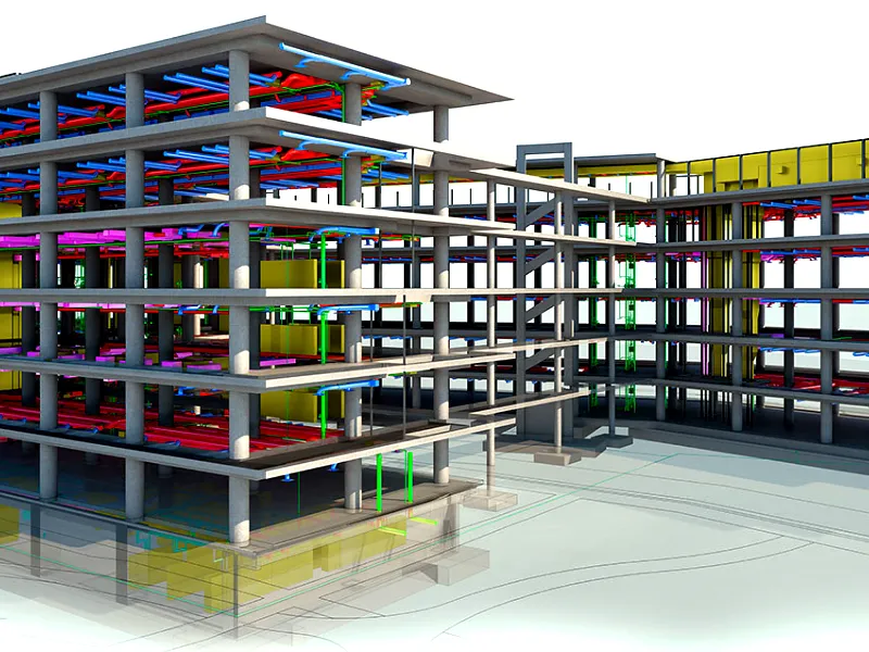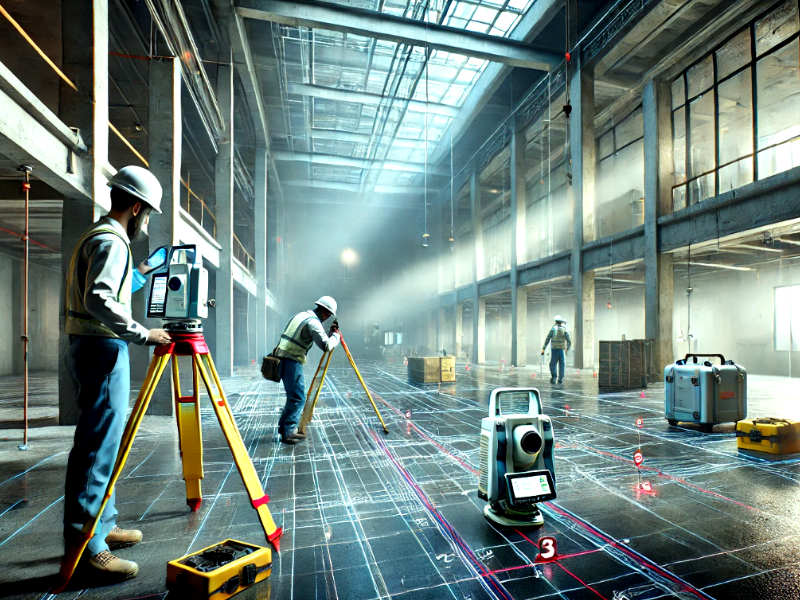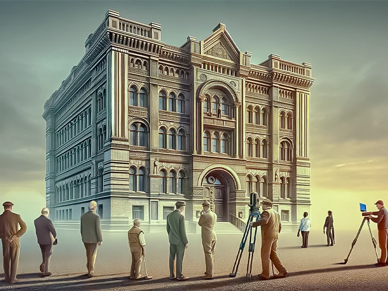
Although laser scanning first appeared in the 1960s, it was in the late 1990s that it became popular in engineering, thanks mainly to the ground breaking scanner developed by Cyra Technologies. Taking the lead in laser scanning technology, Leica Geosystems purchased Cyra in 2001. Only once bandwidth and storage became more reasonably priced did the technology start to stall. Enormous scan data sets are still so massive that they must be sent physically.
Laser scanning is now widely used by surveyors, engineers, and architects, much like GPS, which was first used in specialised sectors before spreading widely. Technologies such as Xbox Kinect, which creates virtual realities from real-time player scans using laser scanning, demonstrate how its applications are becoming more widespread and are not limited to traditional fields.
📍 Want to See How Far 3D Laser Scanning Has Come?
From its origins to cutting-edge applications, this technology is revolutionizing surveying. Experience precision and efficiency with Survey2Plan!
📞 0161 531 6641 📩 info@survey2plan.com 💬 Get a Quotation
Fast & Accurate Surveys | Trusted by Architects, Developers & Contractors
The History and Evolution of 3D Laser Scanning
Many technological advancements have occurred, but few have had the same revolutionary impact as 3D laser scanning. This technology has transformed many professions, from construction to archaeology, with finely detailed images of the real world. This blog explores the development of 3D laser scanning, its history, and its roots, emphasising its significant influence on contemporary society.
The Genesis of 3D Laser Scanning

Early Beginnings
LiDAR: The Core Technology
The technique referred to as LiDAR (Light Detection and Ranging) is essential to advancing 3D laser scanning. LiDAR measures an object’s distance using laser beams, forming a dense “point cloud” that depicts the object’s surface. This ground breaking breakthrough cleared the path to creating sophisticated 3D laser scanners that captured minute details precisely.
Learn: Is LiDAR the same as 3D Laser Scanning?
Technological Milestones in 3D Scanning
First-Age Scanning Devices
Software Integration
Mobility and Portability
Applications and Broader Impacts
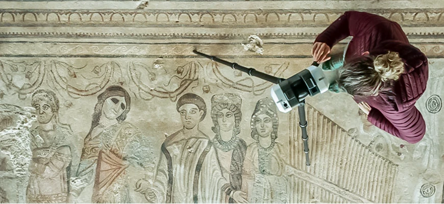
1. Archaeology and Heritage Preservation
2. Agriculture
Farmers can also use LiDAR to help them choose which parts of their farms need expensive fertiliser. LiDAR can map the fields topologically and provide information about the farmland’s exposure to sunlight and slopes.
Researchers at the Agricultural Research Service (ARS) blended this topological information with the farmland’s yield results from previous years. Thanks to this knowledge, researchers could classify the farmland into zones with high, medium, or poor yields. Farmers can utilise this technology to maximise crop yields by knowing exactly where to apply costly fertilisers.
3. Transportation
4. Construction and Engineering
5. Forensics
6. Entertainment and Media
7. Prospects and Limitations
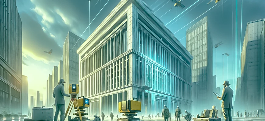
The future of 3D laser scanning is full of intriguing possibilities as technology advances. Developments in machine learning (ML) and artificial intelligence (AI) are anticipated to improve data processing and analysis, further optimising the scanning procedure.
Virtual reality (VR) and augmented reality (AR) technology can be integrated with 3D Scanning to provide immersive experiences and training simulations. Notwithstanding, the sector persists in tackling certain obstacles, like enhancing data precision, diminishing scanning durations, and resolving data privacy issues utilising continuous investigation and advancement.
For more explore our blog on: Applications of 3D Laser Scanning

