Scan to BIM Services
“Accurate as Built with Point Cloud Scan to BIM Modelling”
Our team transforms scanned data into 2D layouts, drawings, and 3D models for enhanced workflow per client requirements.
- Qualified Architects
- Software Proficiency
- Quick Turnarounds
- Multiple Business Models
File Formats for Scan-to-BIM Deliverables
- Revit
- Point cloud data
- 2D drawings such as DWG or PDF for architectural, structural, and MEP details.
Equipment used in Scan to BIM
We use the following equipment to obtain comprehensive data on an element, allowing us to provide precise take-offs, coordination, and modelling for new and old structures.
- Terrestrial laser scanners
- Drones
- Cameras
- Traditional survey equipment
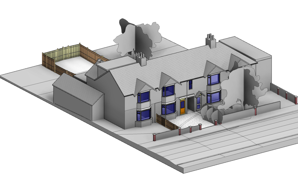
Why Work with S2P?

Dedicated Account Manager
Our dedicated account manager will protect your interests, communicate your requirements, ensure they are met, and provide top-notch customer service. This approach ensures a seamless and personalized experience.

Up to 10 Revisions
Survey2Plan puts you—the customer—at the center of everything we do. Therefore, we offer up to 10 free revisions. This ensures that the final product aligns perfectly with your expectations.

Honesty & Transparency
With Survey2Plan, there are no hidden or additional fees. Our business values are centered around honesty and transparency; therefore, the price quote provided upfront will be your final price.

Access to Architectural Technicians & BIM Experts
Our team consists of engineers, architectural technicians, and BIM experts. Our experts facilitate effective communication throughout the project lifecycle. Remain assured that your project is in safe hands.

We Are Cost-Efficient
We have made our scan-to-BIM services highly cost-efficient by harnessing digitalization and utilizing innovative technologies. We provide bespoke accuracy for your project needs without draining your finances.

We Meet Tight Deadlines
We have optimized our Scan-to-BIM services to meet your tight deadlines, regardless of the project's complexity. We ensure your projects' progress stays on track through efficient workflows and streamlined processes.
Scan to BIM Survey Process
The scan-to-BIM process entails using a 3D laser scanner to capture precise 3D scans of an existing building. The data is then utilized to create or update a BIM model.
1. Scan Planning
Careful planning is essential before carrying out the actual scanning. This stage involves figuring out the required details and information for the desired model. By making the architectural elements, amount of detail, and non-geometric features clear, the scanning process can be optimised to satisfy project standards.
2. Scanning
The scanning phase high-density point cloud data of the actual space or location are obtained using 3D laser scanners. By firing laser beams and noting the coordinates of the reflected beams, these scanners produce a precise point cloud that depicts the actual surroundings. Scanning entails carefully placing the scanner and gathering data from several angles to guarantee thorough coverage.
3. Data Processing
After scanning, the gathered point cloud data must be processed. Then, cloud data must be imported. The software aligns and processes each scan using specialized software that can handle massive datasets to produce a single-point cloud model.
4. 3D Modelling
After processing, the point cloud data must be transformed into a 3D BIM model. In this step, physical and functional information from the point cloud is extracted using modelling software, such as Autodesk Revit, to depict the as-built settings accurately. The modeller enhances the BIM model by identifying building elements, geometry refinement, property assignment, and integration of scanned data.
5. Model Integration and Analysis
After creation, you can utilize the 3D BIM model for various analyses and combine it with additional project data. To optimise the project’s design, construction, and operation, stakeholders can use the integrated model to examine energy, simulate construction sequences, assess clash detection, evaluate progress, and conduct other analyses.
Our Projects
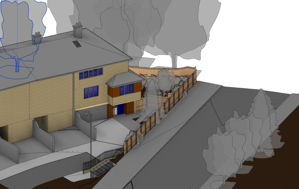
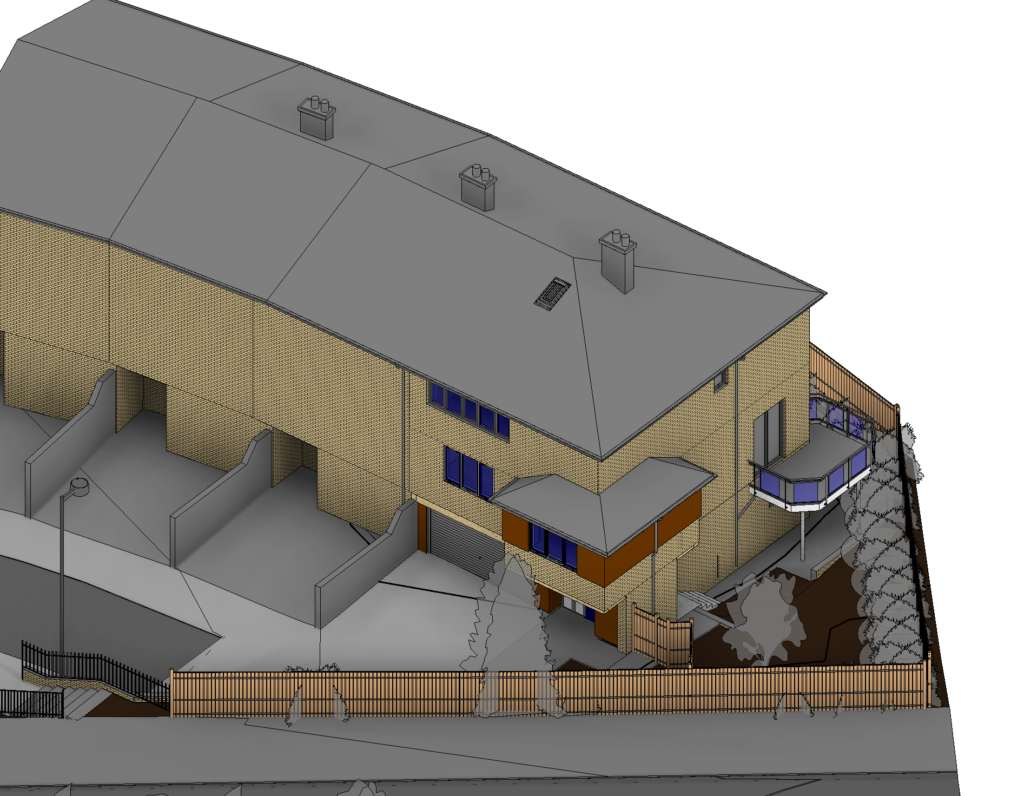
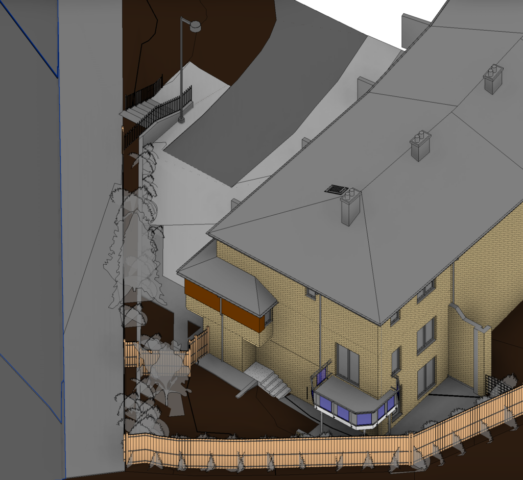
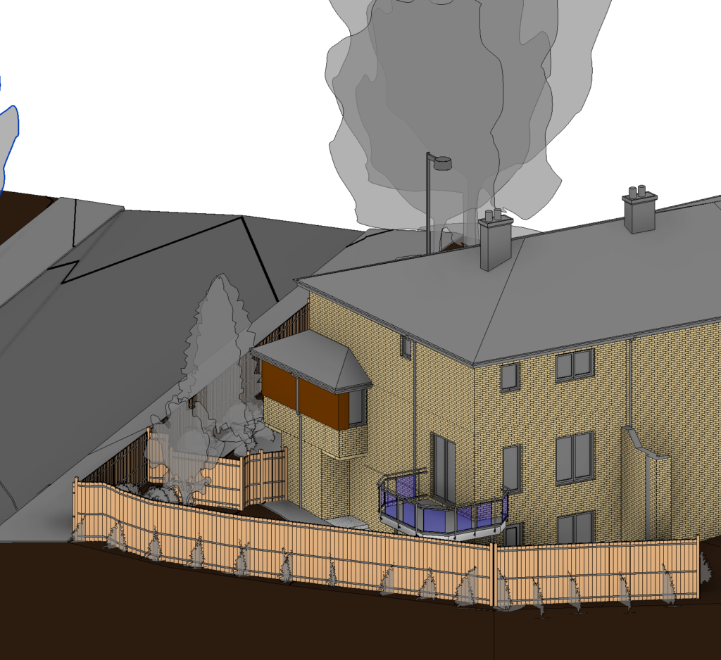
21 Bannister Close Rd
Scan to BIM
21 Bannister Close is a split-level terraced house. The client required the as-built Model from Stage 1 to Stage 4.
- Modelling external and internal features of the building with details
- Topographical model + Measured Building Survey
- Railings with details
- Drainage
Try our Free Instant Survey Quotation Tool
Fast, Free and Easy
Sectors We Serve with Scan to BIM
- Buildings – Architecture, Structure, MEP and its Utilities Infrastructure
- Urban Planning
- Highways & Transportation Infrastructure
- Industrial Applications
How Can We Help?
Let’s discuss how our experienced scan to BIM surveyors can support your upcoming project.
With over 20 years of experience, Survey2Plan provides specialised Scan to BIM surveying services.
© 2024. All Rights Reserved. | Survey2Plan
