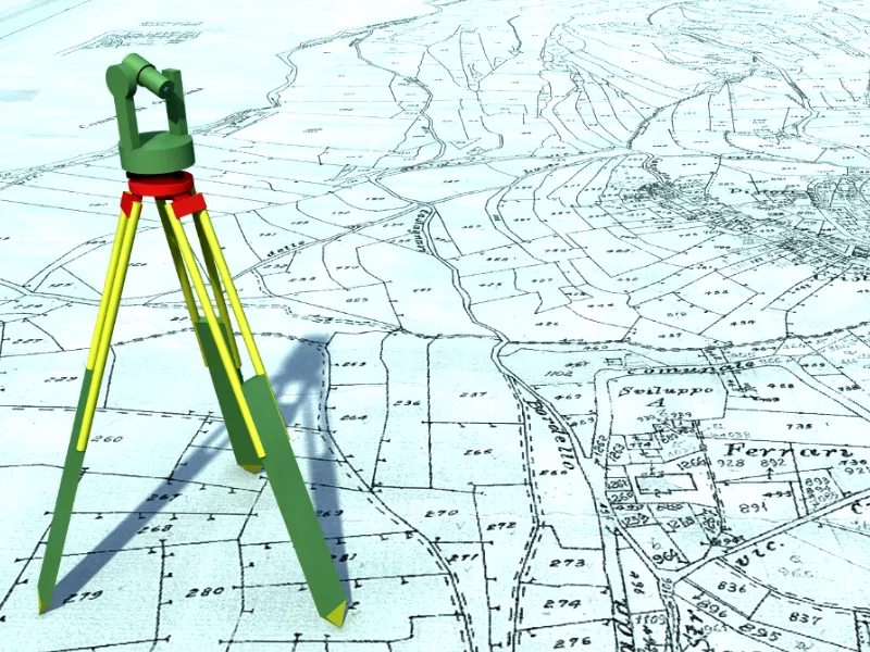
What is Land Surveying?
What is GIS?
Geographic Information Systems, or GIS, are computer-based tools that store, analyse, and visualize geographic data. Unlike traditional maps, GIS can handle vast amounts of information, allowing users to see patterns, relationships, and trends. For example, GIS can show how a river’s path affects nearby land use or how population density varies across a city.
How GIS Enhances Land Surveying
Integrating GIS into land surveying brings several advantages:
- Improved Data Management: Surveyors collect a lot of data. GIS helps organize this information efficiently, making it easy to update and retrieve when needed. This organization reduces errors and saves time.
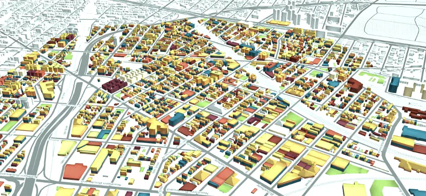
- Enhanced Visualization: GIS allows surveyors to create detailed maps and 3D models. These visuals help clients and stakeholders understand the land’s features and potential challenges better.
- Accurate Analysis: With GIS, surveyors can analyse spatial data to identify patterns and relationships. For instance, they can assess how a new building might impact drainage in an area.
- Efficient Planning: GIS provides tools to simulate different scenarios. Surveyors can model the effects of various construction plans, helping to choose the most suitable option.
Practical Applications of GIS in Land Surveying
The combination of GIS and land surveying is applied in various fields:
- Urban Planning: City planners use GIS to design infrastructure like roads and parks. By analyzing population data and land features, they can make informed decisions about where to build and how to allocate resources.
- Environmental Management: GIS helps in monitoring natural resources and environmental changes. Surveyors can map wetlands, track deforestation, or monitor wildlife habitats to support conservation efforts.
- Disaster Management: In areas prone to natural disasters, GIS aids in creating evacuation plans and assessing risk zones. Accurate land surveys combined with GIS data ensure that emergency responses are well-coordinated.
- Agriculture: Farmers use GIS to analyse soil types, crop yields, and irrigation needs. This information leads to more efficient farming practices and better crop management.
- Transportation: Designing new highways or railways requires understanding the terrain. GIS and land surveying provide the necessary data to plan routes that are safe and cost-effective.
Benefits to Property Owners

For individual property owners, the integration of GIS and land surveying offers specific advantages:
- Accurate Property Boundaries: Knowing the exact boundaries of your property can prevent disputes with neighbours and ensure proper land use.
- Informed Development Decisions: If you’re planning to build or modify structures on your land, GIS data can reveal potential issues like flood zones or soil instability.
- Enhanced Property Value: Detailed surveys and maps can highlight the best features of your property, potentially increasing its market value.
Challenges and Considerations
While the integration of GIS and land surveying offers many benefits, there are challenges to consider:
- Data Accuracy: Ensuring that GIS data is up-to-date and accurate is crucial. Outdated information can lead to incorrect analyses and decisions.
- Cost and Training: Implementing GIS technology requires investment in software and training. However, the long-term benefits often outweigh these initial costs.
- Data Privacy: Handling geographic data comes with responsibility. It’s essential to protect sensitive information and comply with privacy regulations.
The Future of GIS and Land Surveying
Conclusion
The fusion of Geographic Information Systems and land surveying has transformed how we understand and interact with our environment. From urban planning to personal property management, this integration offers tools and insights that lead to better decisions and outcomes. Embracing this technology ensures that we are prepared to meet the challenges of today and tomorrow.