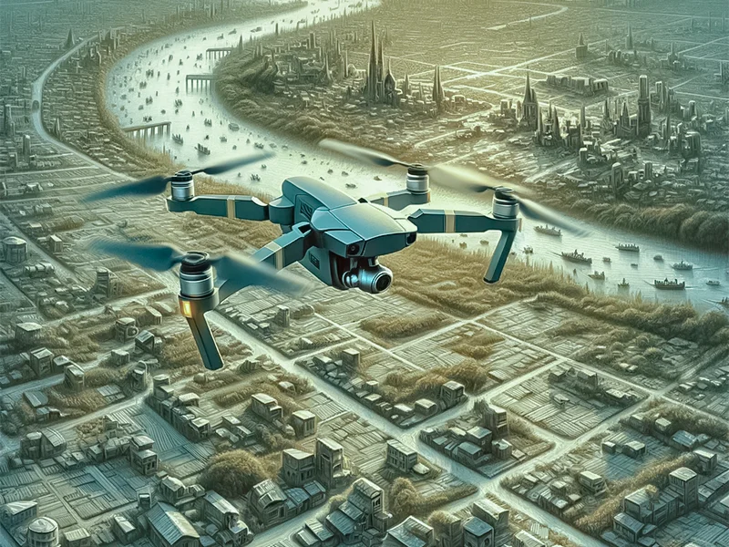

Take drone surveys as an example. Several industries in the world are benefitting from drone surveys and have optimized efficiency in all their operations. Such as agriculture, construction, and architecture. In addition, drone surveys are instrumental in making research operations conveniently efficient.
Today’s blog aims to highlight drone survey benefits so let’s dive right into it!
Top 7 Benefits of Drone Survey
Since the drone survey applications are vast, we felt the need to share more benefits in detail. Make sure that you read the blog till the end to make wise choices in the future.
1. Drone Surveys Are Cost-Effective
In a world where day-to-day tasks are becoming costly, many industries and sectors look for pocket-friendly options to get things done. That also includes picking the right kind of surveying methods.
Traditional surveying methods are not only pricier than the modern ones, but they also require more time and resources. Several other factors are the reason more and more industries are shifting to newer surveying methods. For example, safety concerns, not having access to precise data, etc.
Performing surveys through drones is not just cost-effective, it is also accurate. And we are sure that you would like that very much. By utilizing drones for surveys, you ensure that you are meeting project requirements without putting a dent in your pocket.
In addition, you will not have to hire multiple resources for the job too because drones do not require them. The best part? You will get your hands on highly detailed and comprehensive data faster than any other conventional surveying method.
2. Drone Surveys Ensure Maximum Safety
In every outdoor project, the safety of the team members is extremely crucial. No one can deny that traditional surveying methods can often put surveyors’ safety at risk.
For example, there are surveyors who might have to stay in remote areas for extended periods. There is also an extremely high chance that they would have to manage heavy machinery in complex landscapes.
What if we told you that drone surveys are not only cost-efficient, but they also ensure the maximum safety of the concerned teams? Continue reading to know more about it!
Conducting drone surveys eliminates the need for large groups of people in hard-to-reach areas.
As a result, there is less foot traffic on the site, which is essential for successful surveying. It is safe to say that drone surveys facilitate the stakeholders to foster a safe working environment for everyone.
3. Drone Surveys Offer Rapid Data Acquisition
You cannot compromise on your project timelines, right? And you do not have to if you utilize drones to conduct surveys for you. Allow us to share how drone surveys offer rapid data acquisition.
Conventional surveying methods require longer than usual to equip surveyors with the data. On the other hand, drone surveys are capable of data acquisition quickly. And not just data acquisition but know that the collected data is highly detailed and comprehensive. All of that becomes possible through high-resolution cameras and advanced sensors.
Drone surveying offers convenient and hassle-free processes of data capturing and gathering. Precise data enables the decision-makers to make better, more sustainable choices.
Suggested: Aerial Surveying Vs. Drone Surveying
4. Drone Surveys Offer Highly Accurate Data

All the data that is captured by conducting drone surveys is precise and enables informed decision-making. Drone surveys utilize modern tools and techniques such as GPS, LiDAR (Light Detection and Ranging), etc. to produce comprehensive and accurate maps and models. These maps and models capture highly intricate details which are not visible to the human eye.
Drones not only allow data collection in the set timelines but also improve the overall progress of the project.
5. Drone Surveys Are Flexible and Versatile
Drones are capable of navigating and capturing data in remote and highly challenging areas – be it on land or even underwater. In addition, drones can also navigate in dense forests and rugged mountains to get you the data that you require. The collected data can be beneficial for various applications such as urban planning, infrastructure inspection, land mapping, etc.
6. Drone Surveys Offer Real-Time Monitoring
Are you looking for solutions that offer real-time monitoring and data analysis? Then look no further because drone surveys can do that too! All you must do is hire a surveying agency that will not only capture data for you but will also share it with you in real time – regardless of the time differences and geographical locations. Let’s have a look at how that works!
Drone surveys are capable of multiple things, right? But you may wonder ‘What about data monitoring though?’ Well, let us share that drones enable remote monitoring and data analysis like no one else. When the stakeholders have access to intricate data in real-time, they are in a better position to take a call. Drone surveys also make early identification of potential threats and dispute resolution easier, which serves several industries.
Did you know? Types of Drone Surveys
7. Drone Surveys Are Environment Friendly

Everyone is highly focused on making sustainable choices these days. What if we told you that drone surveys promote sustainability? Allow us to share that in detail!
Conventional surveying methods may impact the ecosystems and, in some cases, the wildlife habitats. However, that is not the case with modern surveying methods such as drone surveys.
Want to know how? Well, drone surveys are conducted remotely and there is minimal noise pollution. These surveys do not contribute to increasing the carbon footprint as well. When drone surveys are performed, stakeholders ensure that they are aligned with conservation methods and playing their role in protecting the planet.
So what are you waiting for? Partner with Survey2Plan today and incorporate modern surveying methods for your personal and commercial projects.
Previous Post
← Aerial Surveying Vs. Drone SurveyingNext Post
7 Best Drones for Surveying & Mapping →
