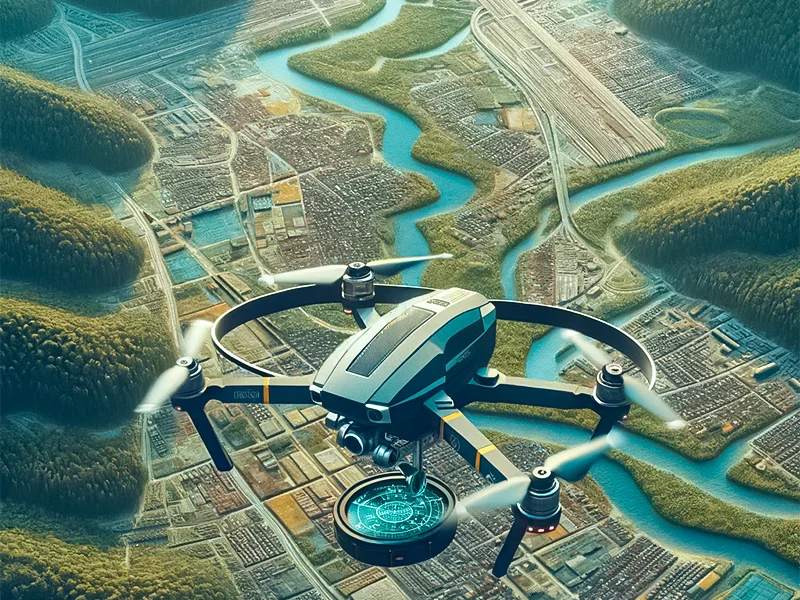

Drone surveys are becoming increasingly important in construction because of their unmatched precision, safety, and efficiency value. Indeed, after implementing them for a year, 92% of construction companies saw a return on investment. They offer accurate, real-time data and images that have streamlined the monitoring, surveying, and inspection procedures, saving money and time.
As the demand for detailed and accurate geospatial data grows, selecting a suitable drone for your surveying and mapping needs becomes crucial.
This article examines the top seven mapping drones made especially for drone surveys, considering their features, effectiveness, and usability to help you make an informed choice.
Benefits of Drone Surveying and Mapping
- Efficiency and Speed
- Accessibility
- Accuracy
- Cost-Effectiveness
- Flexibility
- Data Quality
- Environmental Impact
- Increased health and safety
Types of Drones for Surveying and Mapping

1. DJI Phantom 4 RTK
The new DJI Phantom 4 RTK is the only entry-level drone surveying and mapping option. Its 1′′ CMOS 20mp camera, devised with surveyors in mind, takes clear, detailed pictures.
Additionally, a new RTK module is built into the Phantom 4 RTK, offering centimeter-level positioning data in real-time for improved absolute precision in the image information.
The Phantom 4 RTK drone is improved by the D-RTK 2 Mobile Station, which offers real-time differential data for precise surveying. It is a dependable tool for precision surveying solutions because of its OcuSync transmission system and robust architecture, guaranteeing centimeter-level precision in data collecting under various situations.
DJI developed a robust yet user-friendly drone that can revolutionize your business by converging what it had learned from its consumer-level drones with the needs of the survey sector.
2. DJI Matrice 300 RTK
The Matrice 300 RTK is a good choice in harsh conditions and can carry various payloads for surveying. It is designed to enhance the well-liked characteristics of the Matrice 200 Series, offering remarkable flight durations of up to 55 minutes, IP45 protection, and a transmission range of 15 kilometers.
The most astounding thing is the sheer number of compatible payloads designed with surveying in mind, which offers the Matrice 300 RTK some of the most significant market adaptability. The Matrice 300 RTK is the Swiss army knife of aerial survey drones, supporting photogrammetry payloads from Phase One and LiDAR (Light Detection and Ranging) suppliers like Emesent and LiDAR USA.
3. Yuneec H520
The H520 RTK from Yuneec is an affordable mapping powerhouse with all the tools you need for accurate aerial drone mapping. Its GPS and GLONASS equipment make its highly accurate placement possible, making it a dependable option for various applications.
The retractable landing gear improves the stability of this six-rotor hexacopter during flight. The H520 RTK is unique because it has an interchangeable gimbal mechanism that lets you employ one of three hot-swappable configurations. The gimbal’s 7-inch controller display and 360-degree continuous rotation allow you to see your mapping data.
4. WingtraOne GEN II
WingtraOne is for large-scale surveying projects. This aerial survey drone can collect data up to eight times faster than multi-rotor drones and twice as fast as fixed-wing competitors. It can fly for a maximum of 59 minutes and has a top speed of 35 miles per hour.
The WingtraOne GEN II is the upgraded version of the recognizable orange drone, featuring enhanced fail-safe algorithms, a new oblique payload, and PPK integration on all drones. Additionally, it has an extensive payload portfolio that includes the Micasense RedEdge, Sony RX1RII, and Sony QX1. With the WingtraOne PPK + 42 MP RX1R II payload, these payloads provide the Wingtra range with the best absolute horizontal accuracy, down to 1 cm (0.4 in).
The WingtraOne GEN II is unique among fixed-wing solutions because of its vertical takeoff and landing capabilities. These capabilities reduce deployment time and guarantee payload protection throughout the landing process.
5. JOUAV CW-15
The top-of-the-line LiDAR drone for large-area mapping applications is the JOUAV CW-15. With its outstanding specifications, the JoLiDAR-120 can measure up to 1430 meters, have a maximum point frequency of 1.8 million points per second, and have a maximum echo count of 15. With precision better than 3 cm and 5 cm, respectively, this guarantees unrivaled vertical and horizontal accuracy.
One of the CW-15’s best features is its sophisticated point cloud processing software, which improves data accuracy by automatically matching, segmenting, leveling, and other processes. This drone offers exceptional versatility since it can take off and land vertically, even in tight areas like cliffs and forests.
It can also identify other drones using ADS-B modules and independently navigate obstacles and different terrains. The CW-15’s open architecture for customization and 3 kg payload capability can benefit professionals in industries such as surveying, infrastructure inspection, security monitoring, and agriculture.
6. AgEagle eBee X
7. Autel EVO II Pro RTK V3
Selecting the Right Surveying Drone for Your Project

Selecting the ideal surveying drone for mapping projects involves several vital deliberations. Firstly, consider the scope of your project:
- The dimension of the location
- The level of detail required
- The sort of terrain
Later in our quest to determine which drones stood out as the true industry leaders this year, we focused on ten key aspects:
1. Mapping and Surveying Abilities
- Excel in mapping and surveying tasks
- Generate accurate 2D and 3D models
- Capture high-resolution imagery
- Provide precise data for construction planning and execution
2. Flight Duration
- Remain airborne for an extended duration
- Allow broader coverage in one attempt
- Lower downtime
3. Camera Quality
Traits like help capture all the intricate details of construction sites:
- Thermal imaging
- Optical zoom
- Standout low-light performance
4. Payload Support
- Support various payloads
- Include specialized cameras and sensors
- Cater to the diverse requirements of construction specialists
- Feature thermal cameras for detecting structural issues
5. Data Accuracy
- Precise positioning is essential
- Crucial for site assessments
- The key to structural inspections
- Vital for complex surveying
6. Ease of Use
- Manageable and fast to deploy
- Reflexive controls
- Efficient procedures
- Lowered pressure levels in construction site management
7. Compatibility with Industry Software
- Incorporates with industry-standard software (e.g., Pix4D, DroneDeploy, Metashape)
- Simplifies data processing and examination
- Streamlines construction workflows
8.Security and Data Privacy
- Safeguards flight data
- Respects privacy laws about data
- preserves the integrity and confidentiality of construction data
9. Cost-Effectiveness
- Aligns cost with value
- ROI for construction professionals
10. Regulatory Compliance
- Respect aircraft laws and safety requirements
- Permits safe and lawful operations on building sites
Conclusion
Our UAV aerial drones for mapping solutions provide accurate outcomes for various applications, including environmental monitoring, construction, and land surveying. They allow you to obtain insightful knowledge and decide which sites are inaccessible or isolated.
Book consultation now!
Previous Post
← Top 7 Benefits of Drone SurveyNext Post
Best Drone for Roof Inspections →
