Introduction
What is 3D Laser Scanning?
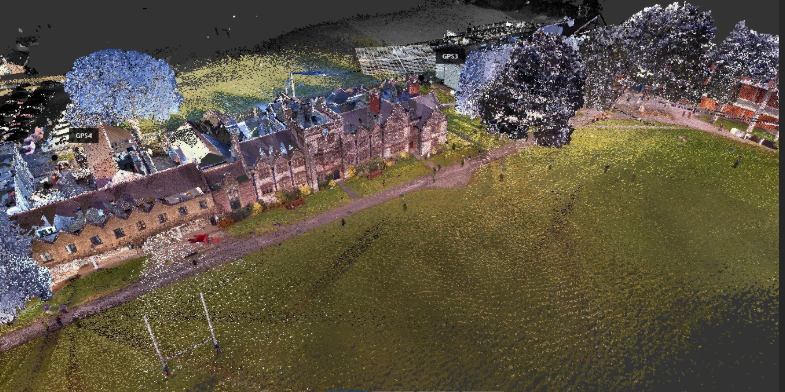
3D laser scanning uses lasers to produce intricate, three-dimensional maps of a space or object. When the laser beams from the scanner come into contact with a surface, they refract. By measuring the time, it takes for the beams to return, an accurate three-dimensional (3D) model is produced.
Benefits of 3D Laser Scanning in Agriculture
Precision and Accuracy
Time and Cost Efficiency
Improved Crop Management
Resource Management
Soil Analysis
Applications of 3D Laser Scanning in Agriculture
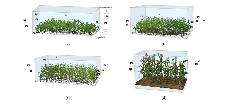
1. Crop Monitoring
2. Field Mapping and Planning
3. Irrigation Management
Accurate topographic data from 3D scanning helps farmers optimise their irrigation systems, ensuring water is used efficiently and crops receive the right amount.
4. Soil and Terrain Analysis
5. Livestock Management
Challenges and Considerations
Initial Costs
The purchase of 3D laser scanning agriculture equipment might be costly. Still, the payoffs frequently exceed the expenses in the long run.
Suggested: How Much Does 3D Laser Scanning Cost?
Data Management
Technical Expertise
Adoption Barriers
Conclusion
Plenty of resources are accessible to help you learn more about 3D laser scanning and its potential benefits for your farm. Investigate this fascinating technology immediately and consider how it might improve your farming methods.
Recommended: Tips for Choosing the Right 3D Laser Scanning Expert Services

