But the real question is; which one is better or more effective? Let’s explore the differences between aerial and drone surveying and how they are beneficial for specific surveying needs.
In this part of the blog today, we will talk about aerial surveying in detail. We urge you to ensure that you read it till the end!
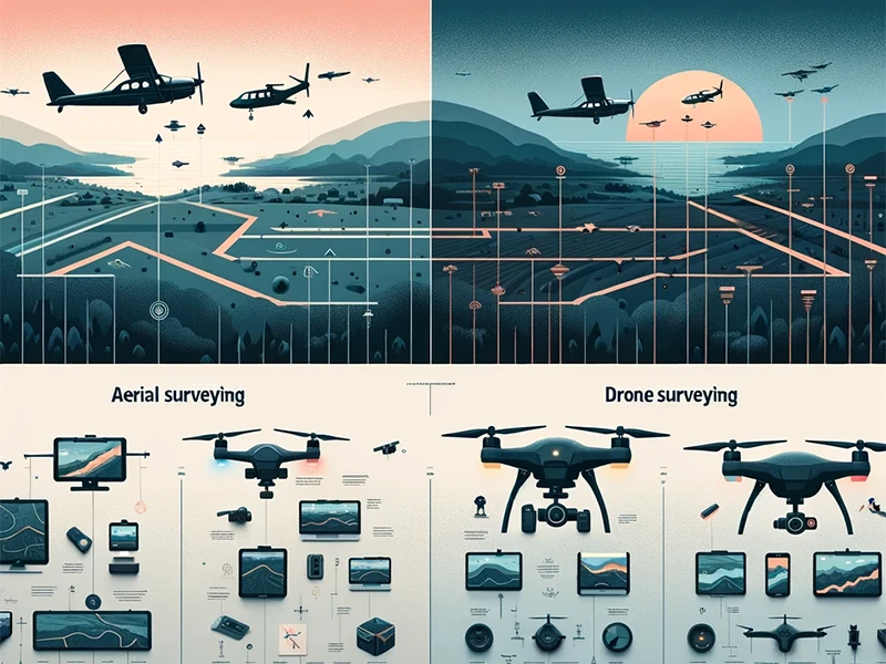
Aerial Surveying
1. Aerial Surveys Are Efficient & Precise
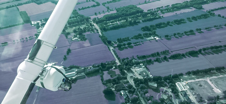
The aerial surveying method offers efficient data collection of large areas quickly. As you know, manned aircraft can fly at high altitudes without a problem and aerial surveying can collect data in a single flight – regardless of how expensive the territories are. These advantages have made aerial surveying a preferred choice among surveyors, particularly for regional mapping and infrastructure planning.
In addition to that, aerial surveying also benefits stakeholders for land-use assessments. Surveyors cannot only assess the impact of urban spread but changes in natural landscapes can also be monitored. The collected data & insights are helpful for informed decision-making for various industries.
2. Aerial Surveys Offer High-Quality Data
Furthermore, surveyors can also detect changes in vegetation or identify potential hazards that can harm the ecosystems or natural habitats. Allow us to mention that the accurate datasets provided by aerial surveying are invaluable for resolving complex spatial challenges. Moreover, the insights are helpful for strategic decision-making; facilitating the development of sustainable environments.
-> Limitations of Conducting Aerial Surveys
Since aerial surveys are performed by utilizing manned aircraft, the overall process can be highly costly. There are several factors that increase project costs such as getting trained pilots on board, maintenance of the aircraft, etc. Not forgetting the investment that must be made in the aircraft itself in the form of paying rent and related fees. And that’s not it. The flights need to be scheduled, then there are harsh weather conditions which must be taken into consideration. Or permissions are to be taken to fly in restricted airspace areas.
All these challenges can highly impact on the project timelines and productivity. However, we must include that despite such limitations, aerial surveying is instrumental in providing invaluable datasets to several industries across the globe.
Drone Surveying
1. Drone Surveys Offer Unmanned Precision
The process of drone surveying is done by utilizing an unmanned aerial vehicle or UAV. This vehicle is small and equipped with cameras, LiDAR (Light Detection and Ranging) and specialized sensors.
All these cameras and sensors are responsible for capturing highly intricate aerial data. Drone surveys are affordable and versatile and that is why they have become a popular choice among many industries and individuals.
2. Drone Surveys Are Agile & Flexible
You would be glad to know that drone surveys are not just affordable, but they also offer agility and flexibility. Know that drones can fly in tight spaces without facing any challenges – even in extreme weather conditions. In addition to that, drones have access to areas that are otherwise hard to access. Also, even manned aircraft can reach those areas which can be accessed through drones. All of that makes drones super agile and flexible.
We must also mention here that drone surveys are quite helpful when it comes to construction monitoring and in-site specifications. Drones are not only limited to developed or under-construction sites, but they can also access vegetation as well. Furthermore, drone surveying is an excellent choice for precision monitoring and measuring crop health in real-time. The data collected through drone land surveying benefits the concerned industry & sector in the early detection of risks and informed decision-making.
3. Drone Surveys Offer Real-time Insights

Allow us to mention that drone surveys are useful when it comes to data collection in rather dynamic environments. Such environments can be either disaster response or emergency management. Drones can assess damage in hard-to-reach areas so that rescue operations can be initiated. In addition, drone surveying creates awareness regarding testing situations and facilitates timely resolutions.
4. Drone Surveys Are Easy on the Pocket
When project teams don’t have to focus on budget constraints, they happen to pay attention to other more important factors. Such as improving the project efficiency. Also, with the advancements in technology, drones are more capable than manned aircraft. We must mention here that drone surveys benefit all sorts of projects equally – regardless of their scales and that too, with precision and accuracy.
-> Limitations of Conducting Drone Surveys
Although drone surveys are more than just efficient, they come with their own set of issues. For example; scheduling flights is also a challenge with conducting a drone survey. In addition, you, the surveyors, must adhere to airspace restrictions while also keeping in mind the harsh weather conditions that may impact the project’s progress. Several other factors can also impact a drone survey’s efficiency such as payload limitations and battery life in some cases. However, despite the presence of such challenges, drone surveys continue to benefit several industries in their diverse projects.
Before we conclude the blog, we encourage you to hire Survey2Plan for efficient, accurate drone surveys and more.
Previous Post
← Types of Drone SurveysNext Post
Top 7 Benefits of Drone Survey →