Survey2Plan Transparent Logo
Equipment Used in Measured Building Survey

Equipment Used in Measured Building Survey

Equipment Used in Measured Building Survey

What instruments are used in surveys, and how are they used? Surveying instruments aid measurements of land, such as vertical and horizontal distances and the volume of material dug. A building surveyor is a construction professional who acts as an advisor on the entire lifecycle of a building. They use their expertise to provide guidance on everything from the design, construction, maintenance, and repair of buildings to identifying defects and recommending solutions.

Building surveyors also ensure projects comply with building regulations and safety standards. If you’re planning alterations or extensions to a property, a building surveyor can help with the planning application process. They can also advise on improvements that enhance the property’s environmental and sustainability aspects.

Concise Applications for Surveying Tools

The majority of uses for surveying equipment include in the following surveys:

  1. Land
  2. Quantity
  3. Topographical
  4. Hydrographic
  5. Mine

1. Land Surveying

One of the comprehensive studies that land surveying entails is analysing data through data analysis, measurements, questionnaires, field observations, legal documents, and other sources. This procedure produces maps that contain relevant information and assist with tasks like planning, designing, and defining property boundaries.

2. Quantity Surveying

A quantity surveyor is a specialist in the construction business with specific knowledge of construction costs and contractual issues.

3. Topographic Surveying

Topographic surveying is the precise mapping of land features, including elevation, contours, and human-made structures, to create detailed topographic maps for use in various fields, such as urban planning and engineering.

4. Hydrographic Surveying

Hydrographic Surveying
The surveying of underwater physical characteristics is known as hydrographic surveying. Dredging, offshore drilling, marine construction, and other water activities are all impacted by this science of measuring everything below the surface.

5. Mine Surveying

Precisely measuring and charting areas used for surface or underground mining is known as mine surveying. It entails setting borders, evaluating geological features and excavations, and ensuring safety regulations. The data gathered aids in planning, designing, and operating mine management.

Measured Building Survey Equipment

Equipment Used in Measured Building Survey
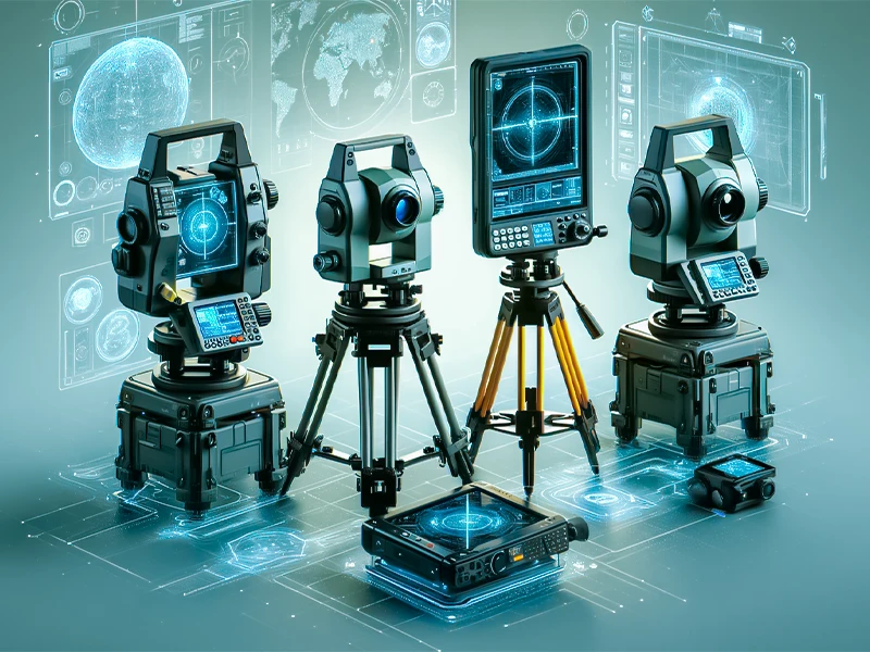
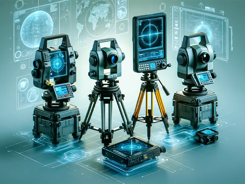
Following are some measured building survey equipment:

1. Total Station

Total stations are essential equipment for building surveying because they accurately measure heights, angles, and dimensions. They use angle measurements in addition to electronic distance measuring, or EDM, to determine coordinates and distances accurately within architectural contexts. High precision is needed to produce the complex floor plans and elevation drawings required for engineering and architectural projects.

2. Theodolite

A surveying tool called a theodolite measure angles both vertically and horizontally. The telescope on a mount makes it upgradable. In addition to rocket launches and metrology, or the science of measurement, it is helpful for surveying. The telescope is held in position by a vertical axis on either side. The surveyor can measure an object’s angle on various axes by pointing the telescope at the target. With its little digital screen that shows information, the modern theodolite is incredibly precise.

3. Laser Distance Metre (LDM)

A complete station and a laser distance meter (LDM) serve the same purpose. When a laser is pulsed at an item, the beam is reflected to the device. By timing how long it takes for the beam to impact and reflect, the gadget may calculate the distance between the LDM and the target. As a result, the LDM can calculate distance accurately in a straight line.

4. Drones

A remotely controlled aerial vehicle is known as a drone. Surveyors frequently take aerial photos using drones equipped with cameras. These are photographs with measuring capabilities, not just pictures. Photogrammetry is the science of obtaining measurements via aerial photographs. This could apply to digital or hard-copy photos. The fact that drones can frequently hover and take pictures from viewpoints and angles that would be challenging for surveyors to get makes them helpful.

5. Measuring Wheel

A device used to measure distances is the measuring wheel, sometimes known as a surveyor’s wheel, perambulator, odometer, way wiser, or trundle wheel. Measuring wheels have a counting mechanism that counts the number of rotations and determines the distance travelled by measuring the circumference.

6. GPS (Global Positioning System)

In outdoor building surveys, GPS receivers obtain precise geographic coordinates. To georeferenced building surveys and integrate them with geographic information systems, they depend on signals from global navigation satellite systems to provide accurate location data (GIS). Surveyors can record building locations and orientations about the Earth’s surface with GPS receivers, which makes spatial analysis and mapping easier.

Also Check: Cost of Measured Survey in UK

Conclusion

The evolution of building surveying equipment, from traditional tools to modern technologies like drones and GPS, has transformed the landscape of geospatial data collection. These advancements enable professionals to conduct more precise, efficient, and comprehensive measured building survey across various domains. As we continue to embrace these innovations, the future of surveying looks promising, offering endless possibilities for exploration, analysis, and development in shaping our world.
top
Survey2Plan Transparent Logo

Get in Touch

Phone: 0161 531 6641

Got a project in mind?